| Take Off: | P5 19:33 UTC | P6 19:36 UTC |
| Touch Down: | P5 21:03 UTC | P6 21:09 UTC |
| Duration | P5 1:30 h | P6 1:33 h |
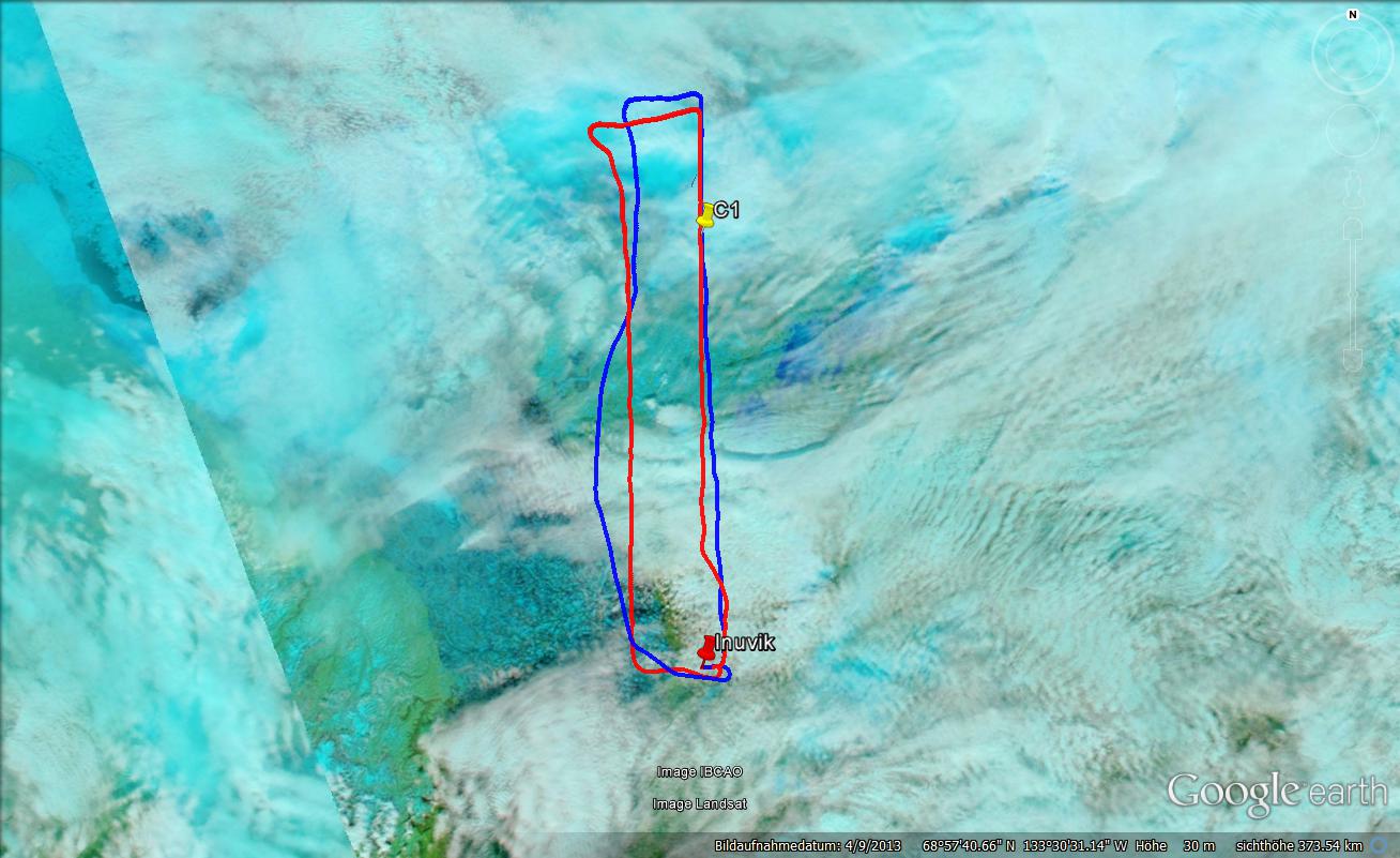
A warm front was supposed to pass Inuvik during the day. In the morning a level clouds did not allow a start so we decided to change the plan to a late take-off flying northwards into a field of low-and midlevel clouds. Cloud tops were forecasted to be at 8,000 ft still reachable for Polar 5&6. Cirrus clouds associated with the warm from already reached Inuvik early that day, which made the radiation measurements on Polar 5 more difficult. After the sky cleared up around Inuvik airport, take-off was scheduled for 14:00 local. The flight pattern was simplified to a straight line with direction North up to 72° North.
Short after take-off both aircraft encountered a low cloud layer between 3,000 ft and 4,000 ft. Only some mid-level clouds were present. Not much later, a second higher cloud layer lay ahead further north. As Polar 5 would have entered the cloud at 10,000 ft flight level, we climbed up to 11,000 ft, where we were about 1000 ft above cloud top. On the way north the higher cloud layer several times showed gaps where the lidar could see the first lower clouds still below. After passing C1, the mid-level clouds got more dense and homogeneous. Unfortunately to the same time cirrus clouds were all over the place as also indicated by sun photometer and radiation measurements. Further north an even higher cloud field appeared straight ahead of Polar 5. As we could not climb above that clouds we decided to turn westwards to avoid this clouds. Unfortunately flying in this direction, the cloud tops of the mid-level clouds increased further so that Polar 6 had to enter the hazy cloud top layer. During this passage, the 180° fish-eye camera showed specular reflection of the sun (under sun) and cloud bow/glory at the same time which indicated the presence of liquid droplets and ice crystals in the clouds below us. As this situation did not improve, we again turn left flying towards Inuvik with the hope to find lower clouds again. This did not happen as the higher clouds seem to move in from west further east. So we decided to stop the flight and to return to Inuvik.
Polar 6 flying into the cloud layers identified a chaotic cloud situation including several layers of stratus, stratus pannus, undulatus, nimbostratus, and stratocumulus cloud types with altocumulus and/or cirrus at mid and high levels. The Polar 6 mostly went along cloud tops because of the icing conditions frequently met. It was not possible to clearly identify/define discrete experiment sections as during all previous flights. In general Polar 6 start sampling the lowest clouds with cloud top at about 4,000 ft. Legs at cloud top, in the main cloud body where clear icing occurred and in the entrainment zone were performed. Later a second cloud layer at about 6,000 ft was investigated before climbing to the cloud layer at 8,000-9,000 ft altitude. The cloud top of this cloud layer increased continuously so that finally Polar 6 had to descent to prevent further icing and fly back to Inuvik.
: a.ehrlich@uni-leipzig.de
: Leipzig Institute for Meteorology (LIM), Stephanstr.3, 04103 Leipzig, Germany
![]()