| Flights |
|---|

Test flight! Here is a clear-sky section that we were looking for.
|

Clouds above and below us.
|

Looking towards the sun.
|

A short glance on Svalbard's science village, Ny-Ålesund.
|

Passing a glacier.
|

A glory, our constant companion - it indicates that the cloud consists mostly of droplets
|

Aerial view of Longyearbyen
|

Icing, our enemy
|

P5 taking off for ARTE's vista flight
|
|
| Longyearbyen |
|---|

Arriving at Svalbard airport around midnight, we find the sun to shine across the pole.
|

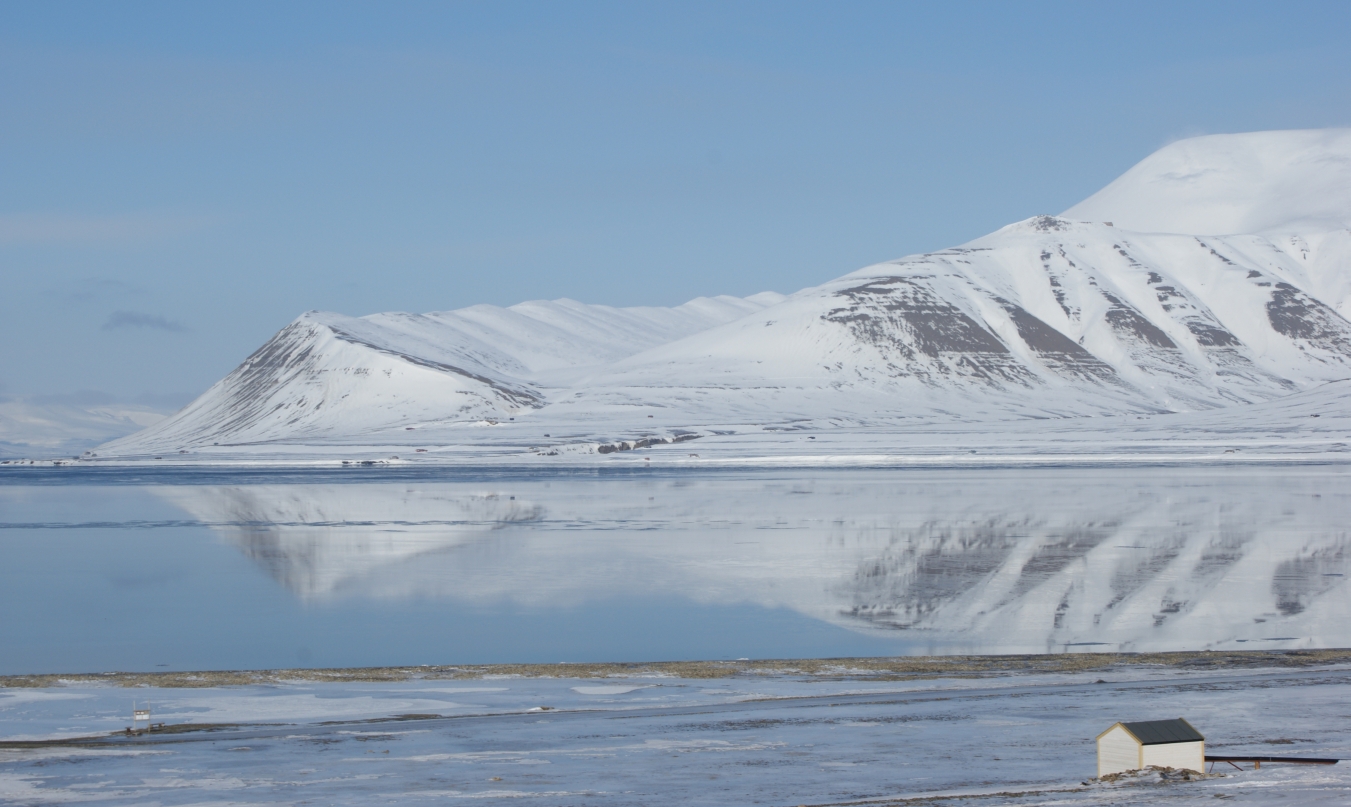
View on the Adventfjord from our airport office.
|

View on the Adventfjord from our airport office.
|

Approach of the Polar-5 to LYR (Svalbard Airport Longyearbyen).
|

Finally: P5 in Longyearbyen!
|

At 1.30 a.m., the Sun starts to shine into the hotel room.
|

Coal mine number 7 and the Eiscat antennas in Adventdalen, at the end of Longyearbyen's longest road
|

Longyearbyen's reindeer are not very shy.
|

Remnants of the coal industry are abundant.
|
|
| Integration Bremerhaven |
|---|

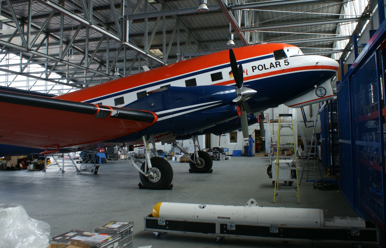
The empty Polar 5 awaits the instrumentation. For instance, the EM Bird (lower right).
|

The cabin of the P5 is still empty.
|

The instrument racks are almost ready to be loaded into the P5.
|

A research aircraft has lots of holes - like this which will hold the SMART-Albedometer sensors to measure solar radiation.
|

The nadir sensors of the SMART-Albedometer are already in place.
|